New satellite and AI system aims to give faster warnings for sudden flash floods
TACLS uses GNSS satellite moisture data and machine learning to give forecasters earlier, more reliable signals that a storm could become a dangerous flash flood.
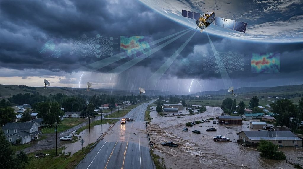
Fast-moving floods can arrive with little notice and have deadly consequences. A new tool that combines satellite observations with machine learning—called the Transient Artifact and Continuous Learning System (TACLS)—is being introduced to give forecasters earlier, more actionable signals that a storm may turn into a life-threatening flash flood.
The need is clear: residents in Lanesville, Indiana, saw more than eight inches of rain fall in a few hours on June 9th, overwhelming yards and roadways before local alerts reached people. Flooding is the second-deadliest weather hazard in the United States and the deadliest worldwide; even shallow, fast-moving water can be lethal and vehicles easily become hazards.
How TACLS adds lead time
TACLS was developed by researchers at the Scripps Institution of Oceanography at UC San Diego in collaboration with the National Weather Service (NWS) and NASA. Rather than relying only on rain and stream gauges or radar once precipitation has already started, TACLS ingests measurements from the Global Navigation Satellite System (GNSS) network to estimate how much water vapor is present in the atmosphere ahead of storms.
Because more atmospheric moisture delays signals between GNSS satellites and ground receivers, those delays can be converted into real‑time estimates of precipitable water. TACLS pairs that information with a machine learning model trained on years of GNSS records, atmospheric river data, precipitation and past flash flood warnings to recognize the moisture patterns that often precede rapid flooding.
Bhavik Chandna, a UCSD graduate student who developed the machine learning component, built the system using long short-term memory architecture—an approach suited to evolving phenomena like storms. TACLS is intended as a decision-support tool for forecasters, not a replacement for human judgment.
Current use and limits
The software is already running in the Los Angeles and San Diego NWS forecasting offices and a revised version with richer graphics is being rolled out to all NWS forecast offices in the second half of October. Forecast offices will be able to compare TACLS’s real‑time moisture readings against model forecasts to decide whether a watch, advisory or warning is warranted.
There are constraints. GNSS stations are denser in parts of the western US—regions that also see frequent flash flooding—so TACLS may be most effective there initially. The system also includes safeguards to reduce false positives, suppressing detections that appear only at isolated stations while relying on consistent signals from multiple nearby receivers.
Forecasters who have tested the tool say it can improve the warning decision process. “It will help you save lives,” says Ivory Small, science and operations officer at the NWS San Diego Weather Forecast Office.
Researchers emphasize TACLS as one step in ongoing efforts to learn from each storm and refine warning practices. For residents caught in sudden events like the Lanesville downpour, earlier and clearer alerts can make the difference between escaping and being trapped by rising water.